
Search Maple Grove Streets by Address
For a Maple Grove address, the cleanest route starts with the Hennepin County parcel system rather than a name search. A street address is a key to a parcel. The parcel can supply a Property ID number, also called a PID, and the legal description needed for land records. Follow each result one step at a time. It keeps an address search from becoming a claim about every person connected with a home.
- Enter the house number and street name in Hennepin County Property Information Search, or PINS. Record the physical address, PID, legal description, and any separate taxpayer or mailing fields shown on the returned parcel card.
- Open the linked map or search the Hennepin Property Map. Click the parcel, note the PID, and use adjacent parcel shapes only as a map reference. County mapping is not a legal survey.
- Use the PID, addition, lot, block, or legal description to search the recorded-land trail. The deed can connect a current transfer to a grantor, grantee, document number, and recording date.
- Use MNVotes only for a supplied person, full date of birth, and address. A street-wide walking list is a restricted voter-file product, not an open street roster.
- For a past address, ask the Minnesota Historical Society or local history sources about the confirmed telephone-directory years. Treat a historical listing as evidence that a subscriber was listed at an address in that year, not proof of ownership.
That chain separates parcel facts from person-specific records. It also preserves details that matter later, such as whether the search used a modern street label, a lot and block, or an older rural description.
Maple Grove PINS Address and PID Modes
PINS is free and updated Monday through Friday at about 9:15 p.m. Central Time. It is an address, PID, and addition tool, not an owner-name directory. In address mode, enter the house number and at least three characters of the street name. The county recommends its own street abbreviations and generally puts a direction at the end. A unit is optional. When the street form does not match, try the county format rather than assuming the address has no parcel.
| PINS field | Type | Required | Format notes |
|---|---|---|---|
| House number | Text | Yes in address mode | Enter the address number as used by the county. |
| Street name | Text | Yes in address mode | Use at least three characters, county abbreviations, and the county direction format. |
| Unit number | Text | No | Use when an apartment or condominium unit is part of the address. |
| Property ID | Text | Yes in PID mode | All 13 digits; spaces and dashes are accepted. |
| Lot and block | Text | No in addition mode | Either 1 or 001 is accepted for a three-digit lot or block. |
| Addition name | Text | Yes in addition mode | Use at least three characters and county-style abbreviations. |
| Records per page | Dropdown | No | Available values were not enumerated in the inspected page. |
A 13-digit PID identifies a tax parcel, not a person. For example, the county may display it with separators, but punctuation is optional in PINS. Parcel division, combination, or a new plat can produce a different PID. Keep the PID beside the exact street label used in the search.
Maple Grove Street Records by Address
A street directory becomes more reliable when each source stays in its lane. PINS supplies the parcel and tax perspective. The map supplies geographic context. The Recorder and Registrar maintain a land-record index. City systems may supply work or request records for one address. None is a complete household list, but together they can document an address trail.
| Address record | Keeper | What it can show | Access channel |
|---|---|---|---|
| PINS parcel record | Hennepin property tax and assessor | PID, situs, tax or mailing fields, value, classification, sales, and tax history | Free PINS, phone, or county counter |
| Property map | Hennepin GIS and related city maps | Parcel geometry, road context, PID route, and related public layers | Free interactive map, with survey disclaimer |
| RecordEASE index | Hennepin Recorder and Registrar | Grantor, grantee, deeds, mortgages, liens, releases, plats, and title placement | Limited free index, paid images, or kiosk access |
| Recent recordings | Hennepin property information | Parcel-linked recent instruments | Last five years online, not a full title history |
| Building permit | Maple Grove Building Inspections | Address, project or inspection dates, and public fields in a specific record | ePermits or an address-specific request |
| City data request | Maple Grove records custodian | Responsive city, police, or fire records subject to classification | JustFOIA request and custodian review |
A PINS result may show both a situs address and a separate mailing address. Situs means the physical parcel. A mailing address is where a tax statement goes. Save both labels exactly as displayed, but do not turn a tax contact into a conclusion about who occupies a place.
Maple Grove Parcel Terms on a Street
Street labels are convenient, while land records often depend on a legal description. These short definitions make the handoff between a Maple Grove street search, a parcel card, and an older plat easier to read.
- Parcel
- A tax-defined piece of land identified by a PID. It can be divided or combined over time.
- Situs address
- The physical location of the parcel. It is distinct from a mailing address in the property record.
- Plat
- A recorded map that lays out lots, blocks, streets, or additions. It can bridge a modern address to a subdivision description.
- Criss-cross directory
- An address-arranged directory, if a catalog confirms one exists for the needed year. Its status for Maple Grove’s identified runs is not verified.
Legal descriptions can use lot, block, and addition names or metes-and-bounds wording. A new subdivision address may not appear in an older deed, even when the land is the same. PINS addition mode and a RecordEASE legal-description search are useful bridges.
Maple Grove GIS Parcel Context
The Hennepin Property Map is the practical way to move from one known address to its parcel geometry. Search or zoom to the address, click the parcel, write down the PID and legal description, then open the matching PINS record. For nearby parcels, repeat the same steps one parcel at a time. A map-touching polygon is not always a physical neighbor because streets, water, easements, or gaps can intervene.
Related city and county map inventories include parcels, roads, municipal boundaries, school districts, watersheds, flood areas, zoning or planning context, section maps, utilities, neighborhood information, and development projects. Exact toolbar labels and a universal adjacent-parcel control were not verified from the dynamic map. Use map data for discovery, PINS for parcel facts, and a plat or qualified surveyor when a boundary must be established.
Note: A county map is a reference tool, not a legal boundary survey.
Maple Grove Deed Chain from a PID
After PINS supplies the PID and legal description, the recorded-land path moves to RecordEASE Public Search. Search the legal description or a recorded party name, locate the purchase deed or certificate, then read the grantor, grantee, instrument type, document number, recording date, and legal wording. Search the prior grantee in an earlier time range and compare the same description before treating it as the preceding transfer.
The RecordEASE Public Search landing page is the starting point for its limited index.
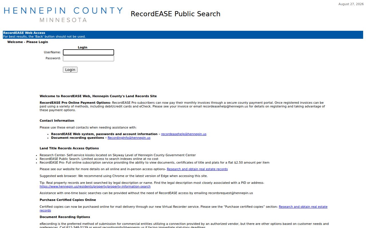
The page reflects the split between a limited public index and fuller image access. A name in a deed can be a trustee, personal representative, corporation, or estate, so the role named in the instrument matters as much as the name itself.
Hennepin does not publish an earliest online RecordEASE index year in the official material reviewed. If a result chain ends online, move to the county research kiosk, tract books, microfilm, MNHS catalogs, county research assistance, or a title professional rather than inventing a cutoff year.
Maple Grove RecordEASE Access Choices
The land-title access route has more than one channel. RecordEASE Public Search is a limited free index. A user ID and password may be requested from ts.recordease.support@hennepin.us, with the county stating a response within one business day. RecordEASE Pro provides document, certificate, and plat images for $2.50 per item, without a monthly subscription or search fee. New subscriptions are stated as taking one to two business days.
Hennepin land-title records access also identifies the in-person fallback: public research kiosks on the Skyway level of the Hennepin County Government Center, 300 South 6th Street, Minneapolis, room SK-0353. The published hours are Monday through Friday, 8:00 a.m. to 4:30 p.m., excluding county holidays. The county recommends real-property searching by legal description or individual or entity name, which is why PINS comes first.
For copies, the Virtual Recorder route requires an account. Mail orders have their own pricing and payment limits, while a property owner may email recordsrequest@hennepin.us for an electronic copy of that owner’s deed or certificate. Those owner-copy options are not an unrestricted historical title search.
Maple Grove Voter Street Data Rules
MNVotes confirms registration only when the person’s first name, last name, full date of birth, and address match. It can use ZIP or county mode, then city or township, house number, street, and a unit where relevant. A successful match supplies confirmation or next-step information. The tool is updated nightly, although officials may take up to 14 days to process an application.
For a street-sorted walking list, Minnesota’s voter-file request form allows a restricted product for registered Minnesota voters who certify an election, political, or law-enforcement purpose under Minn. Stat. §201.091. The list is not a general street directory. It may not be published as a searchable internet list, transferred, sold, or used for unrelated purposes. Full dates of birth and identity numbers are not public list fields.
Protected voters can request name withholding for safety, use Safe at Home, or inactivate and later reregister. An assigned Safe at Home mailing address should never be used to infer a physical Maple Grove location.
Maple Grove Permits and Data Requests
Maple Grove’s permits page directs users to ePermits for applications and searches, and to ePlans for plan uploads. A permit can place construction, alteration, repair, movement, demolition, or inspection activity in time. It does not establish who lived at the address. The live ePermits fields, visible names, and coverage start year were not verified, so a failed portal search should be followed by a request for a specific address or permit number through Building Inspections.
The city’s data-request page sends police, fire, and general city requests through JustFOIA, where a requester can submit, track, and receive electronic records. Ask for the address, date range, record type, and any permit or incident number already known. Release depends on Minnesota data classification. The police records unit is listed for questions at 763-494-6100.
Maple Grove Road Names and Addresses
Maple Grove uses numbered avenues, named north-south lanes, county roads 81, 101, 109, and 116, State Highway 101, I-94, and named lake or territorial roads. City and MnDOT maps are the right check for a current road label. Do not assume a citywide quadrant rule. A rural route, township road, county-road number, or later subdivision street can describe the same ground in different eras.
No specific Maple Grove-wide renumbering or renaming project year was located. Address changes can follow a subdivision, road extension, annexation, or a road conversion. When an older source and a current parcel do not align, compare the legal description, addition, section map, and historic plat before declaring a match.
Maple Grove Historic Address Sources
The confirmed Maple Grove telephone-directory years are 1938, 1946, and 1968 through 1978 in Minnesota Historical Society holdings. A local historical inquiry can also point to plats, census material, cemetery sources, photographs, schools, and town-history material. Reverse or criss-cross coverage for the needed Maple Grove year is not verified, so ask the catalog holder before expecting an address-arranged volume.
For a rural-era place, the 1881 township directory is read by section and acreage rather than a modern street. Historic plats from 1855, 1873, 1880, 1898, 1913, and 1914 can help relate farm sections and old roads to later subdivision land. That history belongs beside, not in place of, the current PID and deed description.
Maple Grove Street Directory Limits
A Maple Grove street directory can document parcels, tax contacts, recorded interests, work records, and selected historical listings. It cannot establish a full household roster. A deed or tax owner is not a complete list of occupants, and a mailing address is not proof that the addressee is present at the parcel. Utility customer data and DMV addresses are not public substitutes for that missing information.
Hennepin County’s property-information overview shows the county’s address, PID, assessment, sales, tax, and map routes that make the parcel portion of a street directory possible.
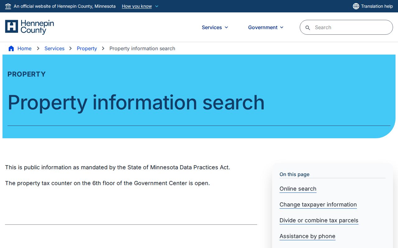
The property route is strongest for a documented parcel trail. It should be read with the situs, mailing, legal-description, and recording fields kept separate.