
Maple Grove Previous Residents by Era
A sound Maple Grove address history uses a different source for each period. PINS establishes the current parcel and its tax description. RecordEASE carries the recorded-title trail, but the county does not publish its earliest online index or image year. Historical plats, the 1881 township directory, telephone books, census records, permits, obituaries, and probate files each answer a narrower question. The table keeps those roles separate, which prevents a present parcel detail from being mistaken for older household evidence.
| Source | Years it covers | Where held | What it shows |
|---|---|---|---|
| Hennepin PINS | Current and prior tax or sales information; five-year overview | Hennepin web property search | Parcel, tax, recent sales, and legal-description starting point |
| Recent recording history | Last five years | PINS result link | Limited recent instruments, not a full title history |
| RecordEASE | Earliest online year not stated | Limited public index, Pro service, and kiosk | Names, legal descriptions, and recorded documents |
| Research kiosk and tract books | Older records; exact range not published | Hennepin Government Center, room SK-0353 | In-person land-record indexes, images, and tract access |
| Maple Grove plats | 1855, 1873, 1880, 1898, 1913, 1914 | History Museum local map page | Farm sections, roads, owners, and land divisions |
| Telephone directories | 1938, 1946, 1968-1978 | MNHS finding aid, print, and fiche | Subscriber, address, telephone, or business evidence by year |
| State census | Local 1865 and 1875 extracts; system 1849-1905 | MNHS and local society | Household and township snapshots |
| City permits and end records | Current portal; start year not published | City, ePermits, district court, and MNHS | Work dates, death, relatives, estate, and transfer clues |
For a newer address, begin with PINS and its legal description. For a rural-era name, start with the township section and plat. A telephone volume or census result can then test whether a person was listed at that location in a stated year. None of these sources alone proves a complete household.
Maple Grove Previous Residents Worksheet
Keep a working sheet before opening the deed index. The address is only one label for a parcel, and the label can change while the legal description remains useful. Separate the physical address, tax mailing address, and legal description. Then record the person or entity named in each source, their role, the date, the document or page reference, and the next search. This makes it possible to revisit a link in the chain without confusing a recorded owner with a resident.
| Observed address | The present address plus every historical street spelling or road label found. |
|---|---|
| Parcel identifiers | PID, legal description, addition, lot, block, and section when available. |
| Source and year | The office or collection, search date, record year, page, document number, or fiche reference. |
| Named party and role | Owner, taxpayer, grantor, grantee, estate, trustee, or person listed at an address. |
| Confidence and next step | What the record establishes and the next source needed to test the connection. |
Trace Maple Grove Resident Deed Chains
Begin an ownership trail with the Hennepin Property Information Search, using the address, PID, or addition and lot-block details to collect the legal description. Then search RecordEASE by a party name, legal description, document date, or document information. The goal is the purchase deed or certificate that links the present owner or taxpayer to the prior seller. Read the instrument, preserve its document number and recording date, then treat the seller as the next earlier grantee.
The Hennepin County property-recording page explains the land-document and title-system routes used in the county.
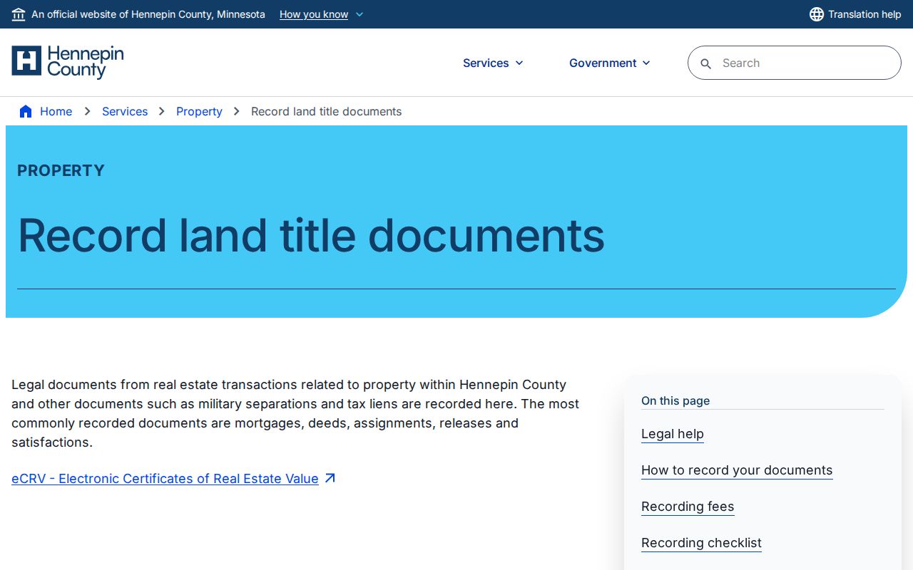
The page is a route to official land-title access, not evidence that a particular person lived at an address.
- Search PINS for the address and copy the PID, lot-block-addition data, legal description, current party shown, recent sales, and recent-recording link.
- Search RecordEASE for the current party or legal description and locate the relevant deed or certificate.
- Read the grantor, grantee, recording date, document type, and prior legal-description language from that record.
- Search the seller or grantor as an earlier grantee within a narrower date range, checking name variants and entities.
- Repeat the link backward, reconciling trusts, estates, subdivisions, parcel splits, and combinations with the legal description.
- When the web result stops, move to the kiosk, tract books, MNHS catalog or microfilm, county research assistance, or a title professional.
Maple Grove Property Record Systems
Hennepin County uses two title systems. Abstract land has no certificate of title, so the historical chain is read through recorded instruments and the abstract record. Torrens-registered land has a certificate of title that identifies the owner, land description, and encumbrances. The distinction matters because a deed search may point to an abstract instrument while a certificate number or memorial points to a Torrens record. Keep the title system in the worksheet before assuming two records describe the same transfer.
RecordEASE Public Search is a limited index. Request a user ID and password from the county at ts.recordease.support@hennepin.us; the county states a response within one business day. RecordEASE Pro provides document, certificate, and plat images for $2.50 per item, with no monthly subscription or search fee. Public research kiosks on the Skyway level of the Government Center, room SK-0353, are open Monday through Friday from 8:00 a.m. to 4:30 p.m., excluding county holidays. Use the legal description or an individual or entity name there for the strongest land-record search.
Virtual Recorder requires an account. It lists document or certificate copies at $10 and plats at $15, plus a $3 service fee. The county also accepts mail copy requests and electronic noncertified copy requests; a property owner may email the county for that owner’s own deed or certificate. Those paths can obtain a known record, but they are not a general historical title-search service.
- Grantor
- The person, estate, trustee, or entity transferring an interest in a recorded document.
- Grantee
- The person or entity receiving that interest. Searching a seller as a prior grantee moves the chain backward.
- Chain of title
- The documented sequence of transfers for the same legal parcel, checked record by record.
- Legal description
- The lot, block, addition, section, tract, or metes-and-bounds description used to identify land beyond a street address.
Maple Grove Online Record Gaps
Hennepin has not published the earliest year of the online RecordEASE index or image coverage. The county does publish a limited free index, paid image access, public kiosks, and a five-year recent-recording history. Older work therefore cannot be planned around a promised online cutoff. Once a result sequence breaks, use the Government Center kiosk or tract books first. Then turn to MNHS catalog or microfilm holdings, local-history archive and plat support, county research assistance, or a qualified title researcher about the next available record path.
The RecordEASE user guide documents the available searches by legal description or tract, name, document or certificate data, document number, certificate number, date range, and document group. Results can be sorted, returned up to 1,000 rows, printed as a worksheet, or opened as an image when access permits.
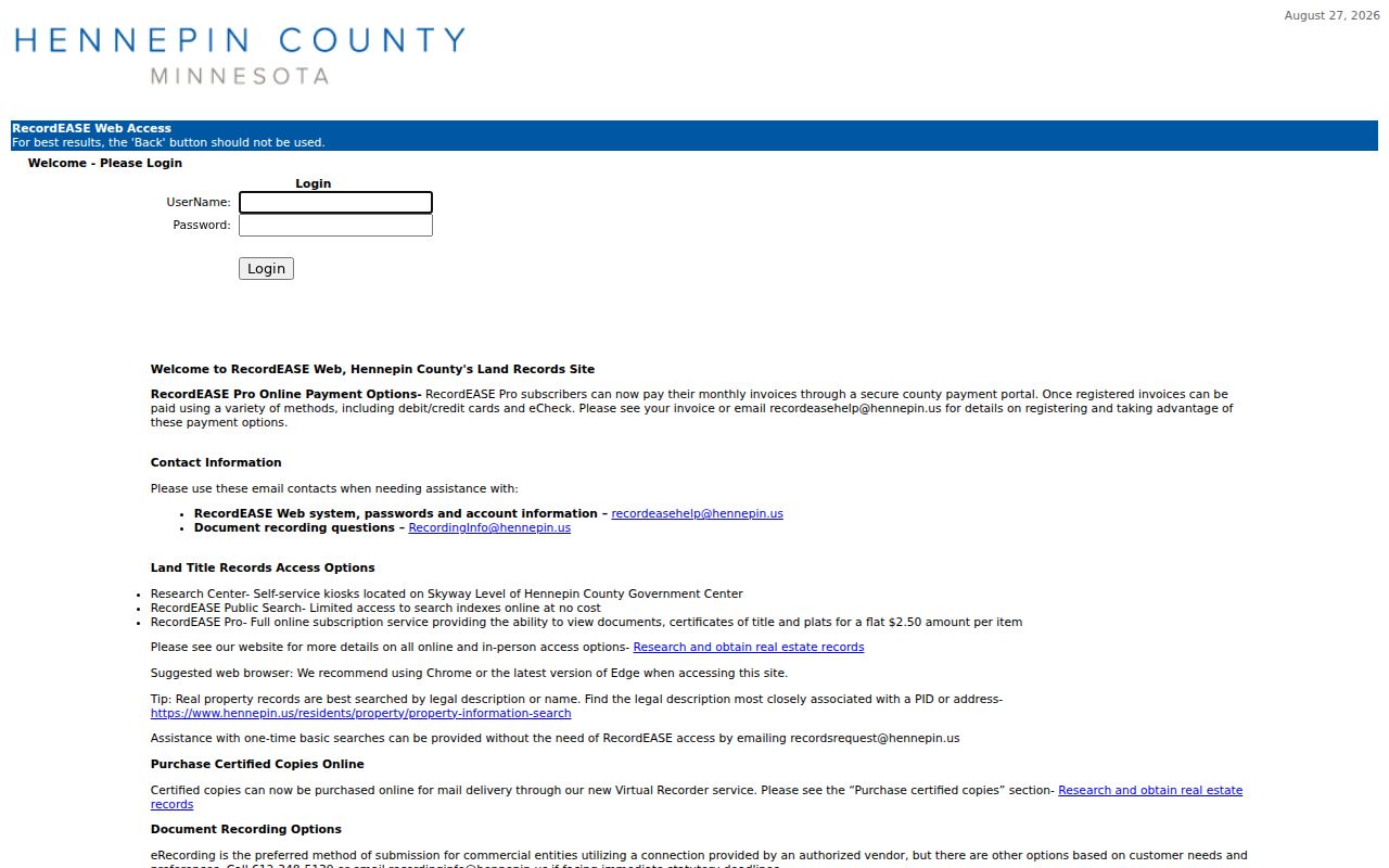
The field set helps refine a known legal parcel or recorded party, but a search screen never replaces reading the document and reconciling its details.
Maple Grove Address Records and Plats
Plats bridge rural sections and newer subdivisions. The Historical Preservation Society lists 1855, 1873, 1880, 1898, 1913, and 1914 survey and plat material. Those maps can place an old road, farm tract, owner label, or section alongside a newer lot-block description. Start with the legal description from PINS or a deed, then compare it with the appropriate map rather than trying to force a present address onto a historic line.
The Maple Grove historic plats collection gathers the locally identified map material.
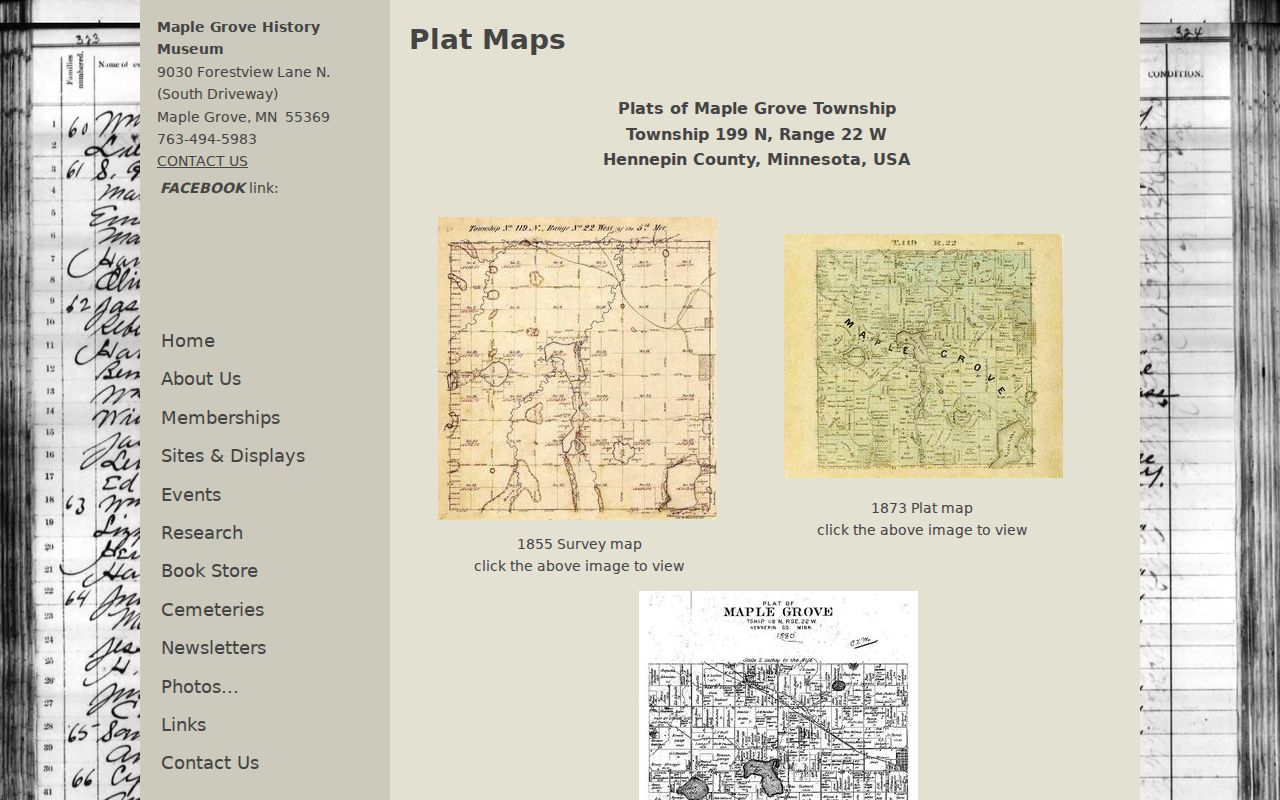
A plat can make the land trail legible, but it is reference material, not a legal survey. Hennepin’s map and survey material carries the same boundary caution.
Territorial Road and Rush Creek mark the original town-site area, and the local society identifies a 1854 Bottineau House marker and early farm-road history. Those anchors may explain why an old record uses a section, road, church, school, or lake rather than the address now used for the parcel.
Maple Grove Past Residents and Census
Ownership is only one part of the address story. The confirmed historical household tools are the 1881 township directory, telephone holdings for 1938, 1946, and 1968-1978, state-census material from 1849 through 1905, and public federal census years through 1950. The Maple Grove local extracts for 1865 and 1875 are especially useful before suburban growth. The historic volumes themselves are described on the Maple Grove city directory collections page.
Pair records in sequence: current address and legal description, then the dated deed chain, then the nearest telephone book or township directory, then the state or federal census. In every case, label a person as “listed at address” when that is what the source proves. A phone listing may omit unlisted numbers, and the 1881 line names a household head rather than every person on the land.
Maple Grove Record Endpoints
City permits can date construction, a remodel, demolition, or an inspection. The city sends permit work through ePermits, but the public start year, searchable fields, and visibility of applicant names were not confirmed during research. If an online search does not answer the address question, ask Maple Grove Building Inspections for a specific permit or address. For older development files, try the Archive Center or a targeted city data request. Permit evidence dates work on a structure, not necessarily the people who lived there.
Obituaries and probate often close a historic chain. Search an owner’s death date through MNHS or a newspaper request, then search the Minnesota Court Records Online system for a Hennepin probate case, personal representative, heirs, or a transfer record. Probate addresses are dated clues, not current whereabouts. Cemetery registers, church burial books, and markers should be checked against the holder’s records or a death record.
Maple Grove Address Record Limits
No official source located a Maple Grove-wide street-renumbering year. Older rural routes may have been renamed or converted into numbered county roads, and a farm section may later become a subdivision. Territorial Road, County Roads 81, 101, 109, and 116, State Highway 101, Fernbrook, Rice Lake, and Weaver Lake are modern reference points, not proof of a one-to-one historical address match. Test the legal description, subdivision, jurisdiction label, and map before deciding a record trail has ended.
Note: The absence of an old address from one online index usually calls for a different format or access channel, not an invented coverage year.