
Maple Grove Neighbors by Block
Public sources describe a block in layers. The Hennepin map identifies parcels and a route to each PID. PINS supplies tax, sales, and legal-description data for a selected address. RecordEASE connects a parcel trail to recorded interests and plats. These records can establish ownership or a taxpayer contact; they do not prove current occupancy. Community and city sources add geographic or project context, but they are not a list of Maple Grove neighbors.
| Source | What it shows about a block | Access |
|---|---|---|
| Hennepin Property Map | Adjacent parcels, roads, parcel geometry, layers, and the PID route | Free dynamic map; reference data, not a legal boundary |
| PINS | Each parcel’s tax, sales, situs, mailing, and legal-description data | Search an address, PID, addition, or map result |
| RecordEASE | Recorded owners, interests, deeds, and plats | Limited public index; images through paid access or a county kiosk |
| Voter walking list | Registered voters sorted by street and number | Restricted request with certified permitted use |
| City neighborhood map | Neighborhood and project context | Free map; no member roster |
| Historical telephone holdings | Past subscriber or address context for selected years | MNHS print, fiche, catalog, or research service |
For current parcel work, save the address, PID, legal description, source date, and the role shown. An owner, taxpayer, mailing contact, and occupant can be different people. That distinction is especially important for a question about nearby residents.
Maple Grove Parcel Map Start
The Hennepin Property Map is the starting map for an immediate block. Search or zoom to the supplied address, select the parcel, and note its PID before opening the county property record. The map’s live toolbar labels were not published in the official text review, so avoid assuming a particular buffer or measure button is available. Use parcel selection and a readable zoom level instead. PINS requires a house number and street name in address mode, with a unit if needed; its guidance recommends at least three street-name characters and standard abbreviations with the direction at the end.
Parcel records can return the physical situs, taxpayer or owner field if displayed, mailing address, PID, legal description, lot, block, addition, classification, value, taxes, sales, and recent recording link. A mailing address can be useful for the recorded taxpayer, but it does not establish who occupies the nearby property. For a block face, inspect one parcel at a time rather than treating an entire street as one search result.
Map Maple Grove Neighbors by Parcel
The adjacent-parcel route is a bounded property workflow: address to GIS, GIS to PID, PID to PINS, and PINS to a recorded deed when title context is needed. Follow the street right-of-way and cul-de-sac shape rather than drawing an arbitrary circle. Parcels separated by a road, easement, water, or gap may look close on screen without sharing a boundary.
- Open the target address in the Hennepin Property Map and record the PID and legal description shown for the selected parcel.
- Zoom out only far enough to identify each immediately touching parcel. Click each polygon and preserve its PID separately.
- Open Hennepin PINS for every address or PID. Compare the situs, mailing clue, lot, block, addition, and any owner or taxpayer field.
- When a transfer matters, use RecordEASE Public Search by legal description or recorded party. Check the document number, recording date, instrument type, and title system.
A complete named-street chain needs its own address-by-address method. Use the Maple Grove By Street directory when the question reaches beyond the immediate parcels around one address.
Maple Grove Maps Are Not Surveys
A useful local myth to correct is that an interactive parcel line settles a property boundary. Hennepin map and survey material is reference data for finding a PID, road, subdivision, section, or lot. The county states that a qualified surveyor establishes a legal boundary. A GIS edge may not account for easements, water, a road right-of-way, or the legal detail needed to decide whether parcels are adjacent.
Use the map for discovery, PINS for the county parcel record, and RecordEASE or a plat for the recorded land trail. Hennepin section maps can add township, range, lot outlines, roads, and district boundaries. For an older Maple Grove location, the 1855, 1873, 1880, 1898, 1913, and 1914 local plats may bridge farm sections and newer subdivisions, but they should not be treated as a present survey.
Note: A map that touches two parcels on screen is a lead for research, not proof that their owners share a legal boundary.
Maple Grove Voter List Limits
MNVotes does not return a list of neighbors. Its individual status tool requires first name, last name, complete date of birth, ZIP or county route, city or township, house number, street, and any needed unit. A successful result confirms the supplied person’s registration status and offers next steps. Minnesota does not register voters by party, and the status tool is not an open-ended name search.
| Official roll | Commercial neighbor tools |
|---|---|
| Held by a named custodian, with fields and use limits set by Minnesota law | May combine records and marketing data with uncertain source dates or stale addresses |
| Walking-list access is restricted to registered Minnesota voters who certify an allowed use | Cannot override Safe at Home, voter withholding, court, or other protected-record rules |
| Public fields exclude full birth dates and government identity numbers | Any apparent match still needs confirmation with the named official custodian |
A Secretary of State walking list is sorted by street and number and can show name, address, optional phone, birth year, and recent voting history. It is available only by the restricted request process in Minn. Stat. §201.091. A registered Minnesota voter must certify an allowed election, political, or law-enforcement use. It cannot be published as a searchable internet list or used as a general block directory.
Maple Grove Neighborhood Information
The city’s maps hub includes Neighborhood Information and development-project context. It does not publish a comprehensive HOA or member directory. Maple Grove has many subdivision-level associations, but an official association-by-association member inventory was not located. Ask Community and Economic Development or the association directly for the appropriate public contact, and do not infer membership from a subdivision name or a parcel location.
The Maple Grove Archive Center provides city archive search controls for keywords, archive category, time period, and date range.
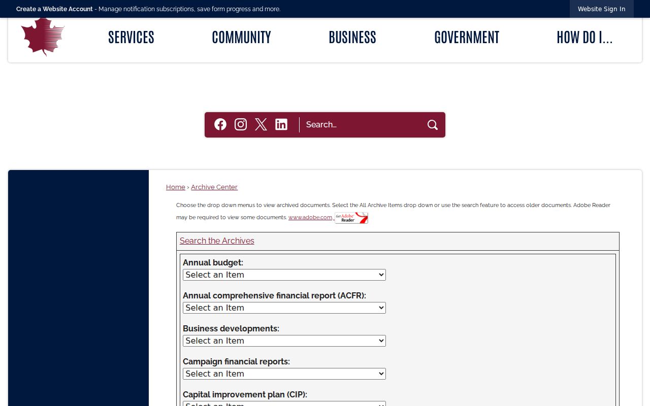
Archived city material can place a development or public project in context, but it is not a residence list.
The Maple Grove staff directory is useful for finding the proper city department by category, first name, or last name.
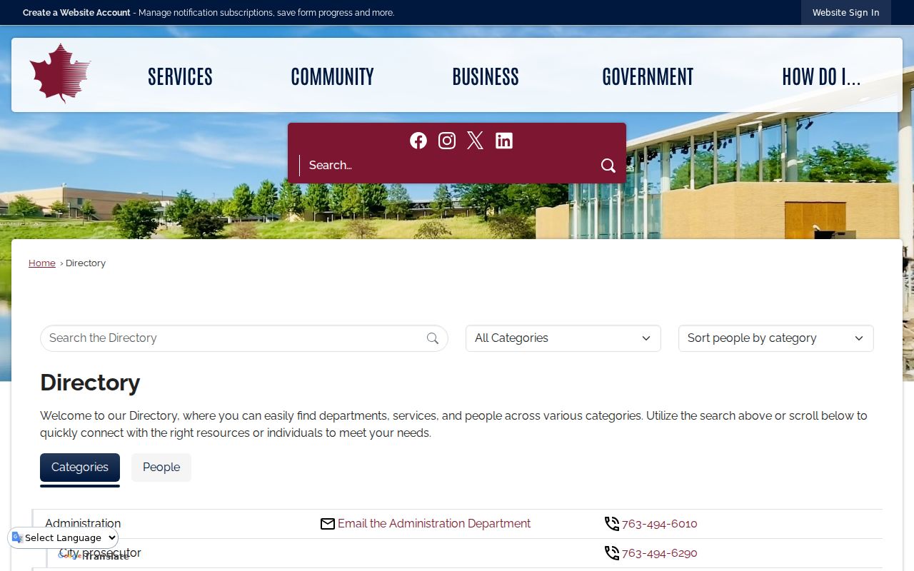
It connects a researcher with city staff, not with private Maple Grove neighbors. Community paths include the Maple Grove Community Organization, Historical Preservation Society, Lions Club, Rotary, Friends of the Angel, youth associations, and Police Community Outreach. These are civic contacts and context, not residence lists or member rosters.
Maple Grove Development Notice Radius
For certain developments, Maple Grove uses a 500-foot residential notice radius. Community and Economic Development can help with the notification area and address labels at 763-494-6040. A notice can clarify which parcels were contacted about a particular project and may identify project contacts. It does not create a continuing map of every resident near the site.
If an online result is incomplete, use the city’s JustFOIA request portal for police, fire, or general city information and ask for the identified project, address, date range, or record series. For a deed or property document, use the Hennepin Recorder or PINS pathway instead. Each office controls a different part of the record trail.
Maple Grove Neighbor Lookup Limits
Property and tax records usually identify an owner or taxpayer, not non-owner occupants, guests, children, or every household member. Utility accounts and delivery routes are not public customer lists. DMV addresses are protected by federal law. Court web results leave out many contact details, and protected voters or Safe at Home participants may be withheld. Private association membership should never be assumed from the map.
Lawful use. Use Maple Grove neighbor records for personal, civic, property, or safety research. Do not monitor, harass, intimidate, or expose anyone, especially a protected-address participant.
Safe at Home uses an assigned mailing address to protect a participant’s physical location. If the map, PINS, and deed index do not answer the question, preserve that limitation. For a city-held public record, make a narrow request to the correct custodian and allow protected fields to remain protected.